How this scorecard gets built
-
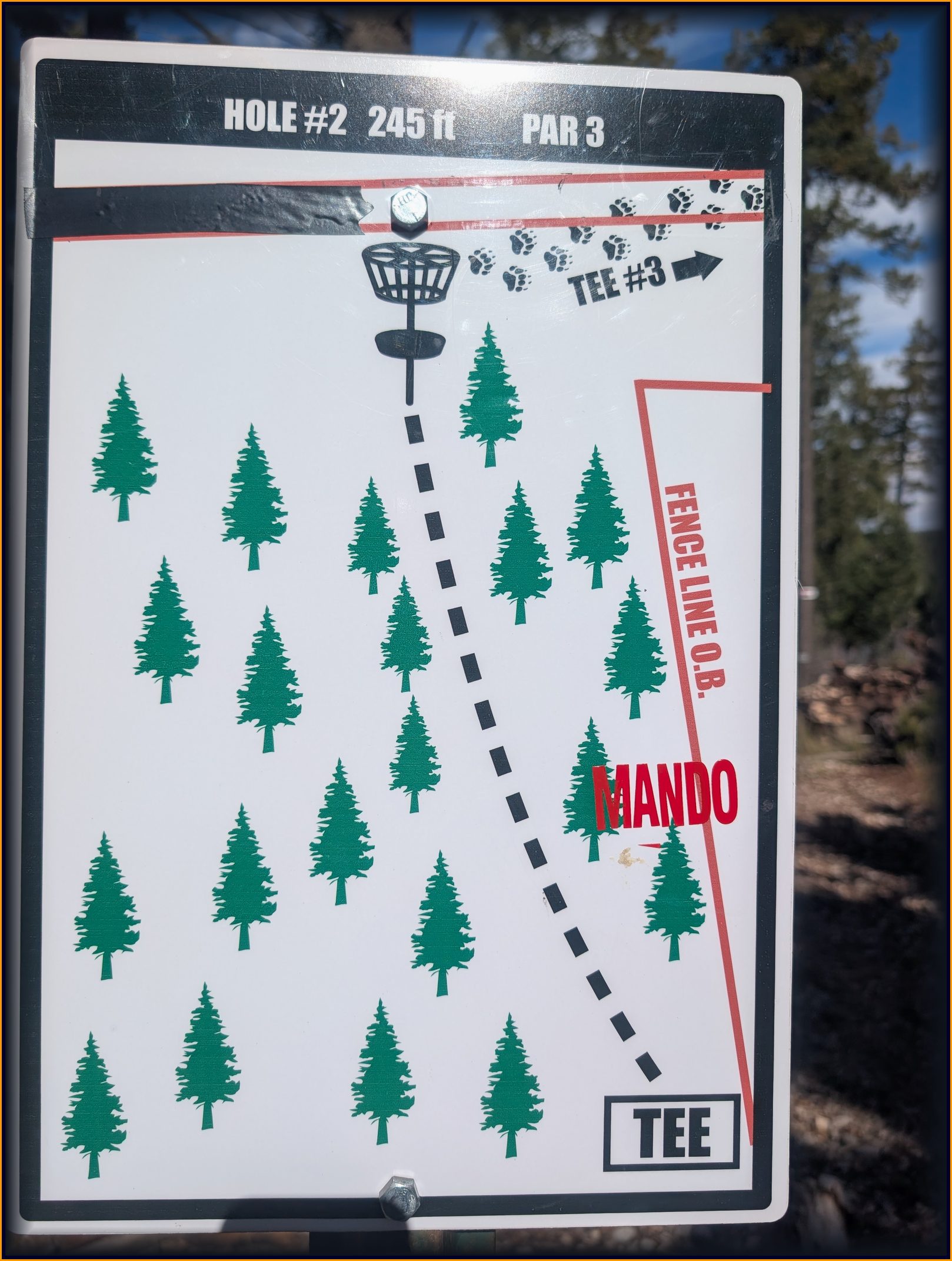
Walk the course. At each tee an averaged GPS point
joins a photo of the tee sign and a note — par, distance, mando,
out-of-bounds. This one is real: community tee 2, par 3, 245 ft,
mando right, fence-line out of bounds right.
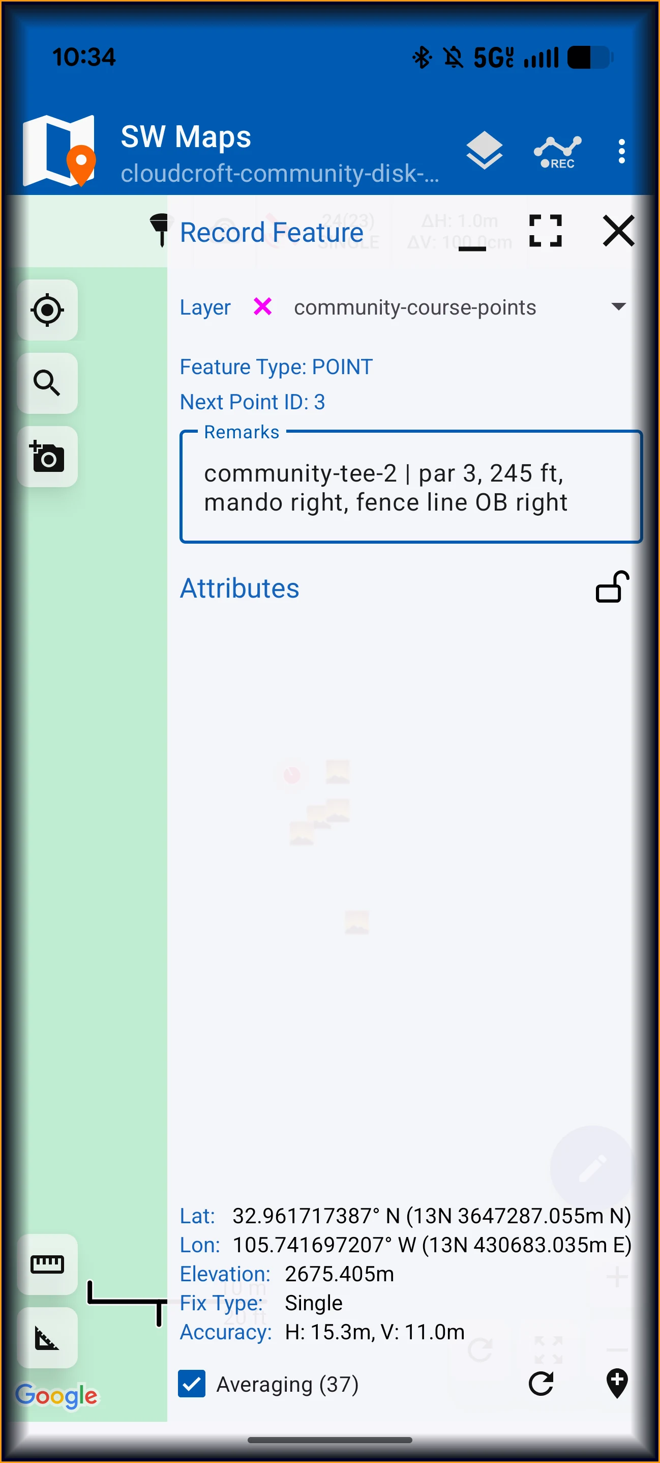
Field capture: averaged fix plus the remark that becomes this hole's row. - Hand off the raw day. The survey app's project backup carries every point, note, and attached photo in one file. A small extractor turns it into open GeoJSON — no app lock-in.
- Validate. Points must land inside the course boundary; named tees and baskets must parse. Gaps are reported, never silently invented — unsurveyed holes stay visibly blank, like the scaffolds in the table above.
- Build the holes. Tee-to-basket lines, elevation, and a plays-like distance come from the 1 m terrain model, cross-checked against the tee signs.
- Publish. The map, Cloud-Cam, and this card read the same data files, so the next field day lights up new holes with no code change.
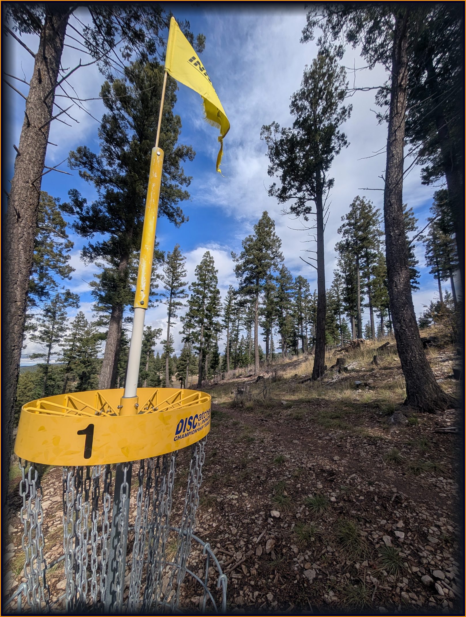
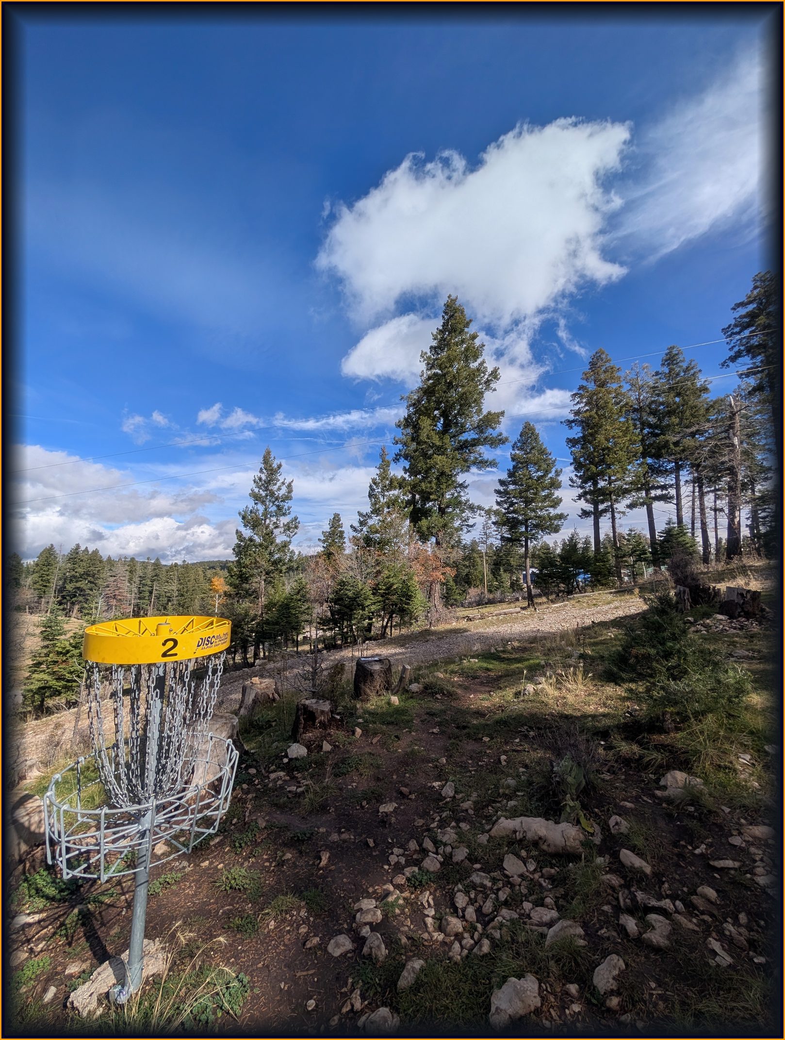
Every photo from the November 1 field day
loading the field gallery…
Field evidence